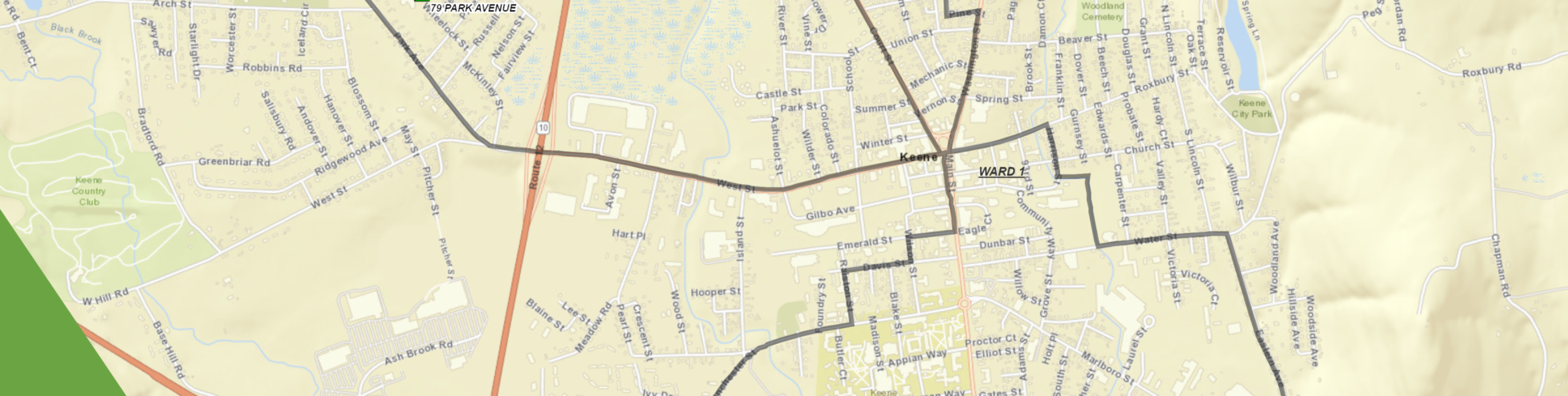
KGIS and Mapping Services

The City of Keene’s GIS (KGIS) staff supports a wide range of City processes and functions, including monthly support for the Zoning Board of Adjustment (ZBA) and other standing and ad hoc committees. The data and software that we manage also assist in daily project management activities such as property analysis for mailing lists, site plan review, Assessing record updates, and Public Works engineering activities, just to name a few. Not to be overlooked is how KGIS enhances long-term projects and priorities for the organization and the community. The best way to illustrate this is the way that maps and imagery help to define and illustrate our community and the change that has occurred, is occurring, and that we would like to see.
Interactive Webmap Gallery
Historical Town Boundary (Station) Delineations
Static Maps
Long range community goals
KGIS provides essential support to municipal planning efforts and can utilize planning principles to help delineate a path forward.
- Comprehensive Master plan released in September of 2010
- Active and Passive Recreation Management Plan, 2012
- Current rewrite of the Bicycle Pedestrian Master Plan
KGIS has also helped in the completion of various other City projects including:
- Establishment of the Downtown Historic District Boundaries, property map inventory with in the district and management of those resources
- Analysis and updates of the state of the City’s Bicycle and Pedestrian Path systems
- Urban Exemption application for the Shoreline Protection Act II
- Neighborhood Condition Assessments
- Mapping and Management of the Fire Department’s Alarm Line System
- Mapping and updating of the active Cemeteries that Parks and Recreation manages