
Table of Contents

How to Stay Prepared for Emergencies
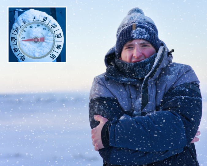
Emergencies can happen at any time, often with little or no warning. Whether it’s extreme heat, severe storms, freezing temperatures, or other natural hazards, emergency preparedness can make all the difference. In addition to the personal emergency preparedness resources here, you can view Keene’s Hazard Mitigation Plan, adopted by the City Council in 2025. This plan outlines how we are working to reduce long-term risks to people and property from disasters.
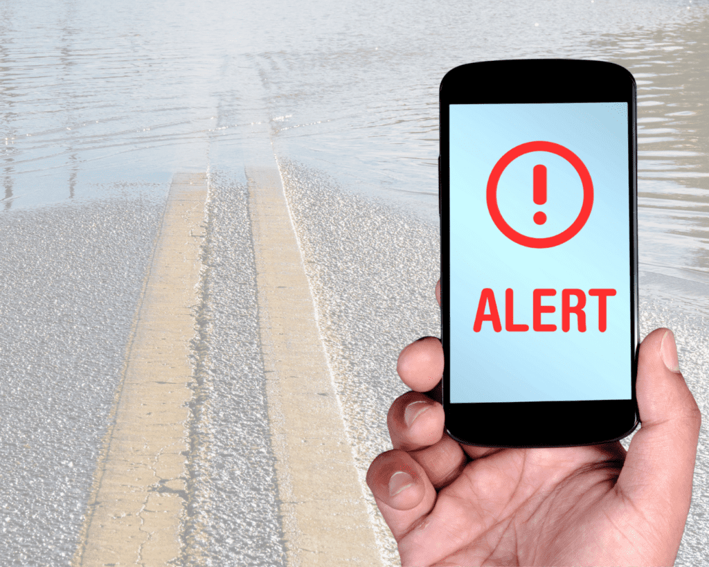
Sign up for Keene Emergency Alerts
We use an emergency notification system to send important alerts via phone call, text message, and email. Setup your contact info in the system now to make sure you receive local alerts quickly.
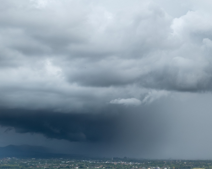
Forecast: Weather.gov/gray
Use Weather.gov/gray to check the forecast and stay up-to-date with weather predictions.
Use ReadyNH.gov
- Stay informed about the different types of emergencies that could occur and their appropriate responses
- Make a family emergency plan.
- Build an emergency supply kit.
- Get involved in your community by taking action to prepare for emergencies.
Keene Hazard Mitigation Plan
The Keene Hazard Mitigation Plan serves as a tool to reduce or minimize future losses from hazard events before they occur.
Contact Information
Kurt Blomquist, Emergency Management Director
KBlomquist@KeeneNH.gov
(603) 352 – 6550
Michael Hagan, Assistant Emergency Management Director
MHagan@KeeneNH.gov
(603) 352 – 5440