
Interactive Webmap Gallery
- Public Maps and GIS
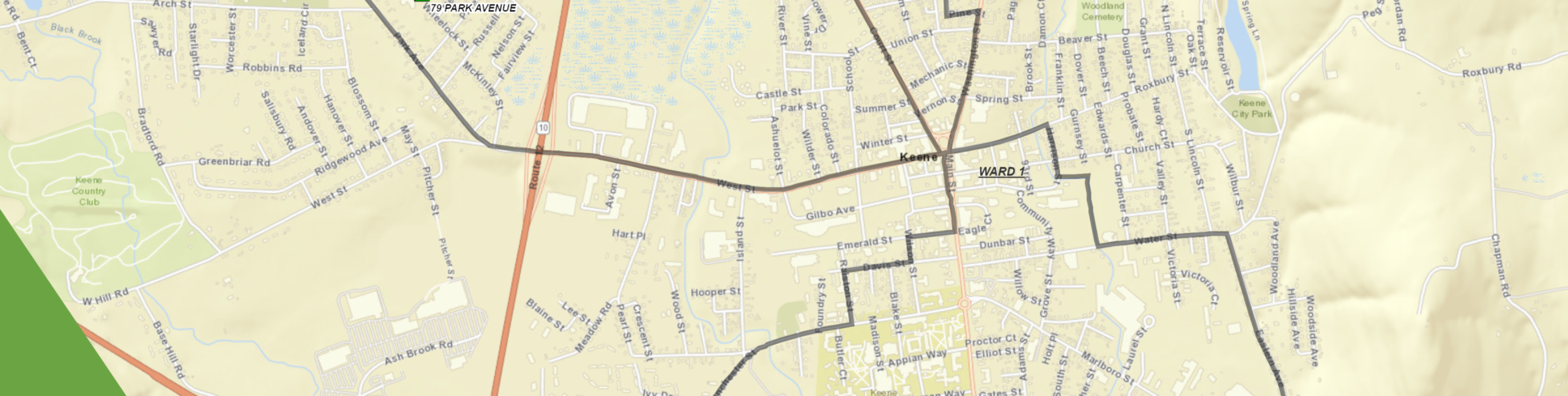
- Polling and Wards
- Historical Town Boundary (Station) Delineations
- Green Up Keene Finder
Static Maps
Long-Range Community Goals
Keene GIS provides essential support to municipal planning efforts and utilizes planning principles to help delineate a path forward.
- Comprehensive Master Plan
- Active and Passive Recreation Management Plan
- Rewrite of the Bicycle Pedestrian Master Plan
- …and more
Keene GIS was instrumental in the completion of various other City projects, including:
- Establishment of the Downtown Historic District boundaries, property map inventory within the district, and management of those resources
- Analysis and updates of the state of the City’s bicycle and pedestrian path systems
- Urban Exemption application for the Shoreline Protection Act II
- Neighborhood condition assessments
- Mapping and management of the Fire Department’s alarm line system
- Mapping and updating of the active cemeteries that Parks and Recreation manages